[ Sharmin International ]
GIS Mapping
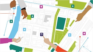
Sharmin International specializes in GIS (Geographic Information System) mapping services in Oman, providing precise spatial analysis and data visualization for your projects. Our expert team uses advanced technology to create detailed maps and geographic data that support planning, decision-making, and project management. Trust Sharmin International for accurate GIS mapping solutions that enhance project outcomes and streamline operations in Oman’s dynamic landscape.

